|
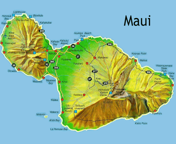
| Image of Maui by http://surf.firesurf.com/images/map_maui.gif |
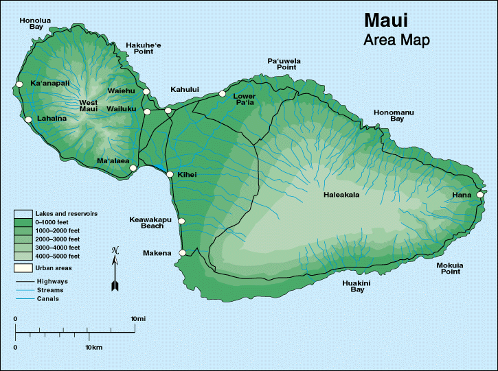
The West Maui Mountains and the Haleakala Crater are the two volcanoes. Each volcano on Maui is built of dark, iron-rich/quartz-poor rocks, which poured out of thousands of vents of low viscosity lava, over a period of years. Maui is a "volcanic doublet", formed from the two volcanoes overlapping each other creating an isthmus to connect the two volcanoes (http://en.wikipedia.org/wiki/Maui#Geology_and_topography).
The West Maui Mountains known to the Hawaiians as "Maui Komohana" are located on the "head" shape of Maui. The West Maui Mountain is a shield volcano. It accounts for a quarter of the western part of Maui (http://en.wikipedia.org/wiki/West_Maui_Mountains) . Shield volcanoes are the least dangerous volcanoes because of their low viscosity lava flows, meaning trapped gases escape. Eruptions happen all over shield volcanoes (Dr. Allen, 2012). The West Maui Mountains are older than the other shield volcano Haleakala and it's highest peak of the mountain is at Pu`u Kukui at 5,788 feet (http://www.hawaiiweb.com/maui/west-maui-mountains-and-coast-maui.html).
 |
| Image of West Maui Mountains by http://www.nokaoiadventures.com/Workparts/WestMauiCircle/600WM1Breathtaking%20West%20Maui%20Mountains.jpg
Haleakala, Maui's other shield volcano accounts for 75% of Maui. Haleakala, meaning "house of the sun" was believed by the Hawaiians to be the home to the grandmother of the demigod Maui. It got the name because the grandmother of Maui helped him capture the sun and force it to slow its journey across the sky to lengthen the day. The tallest peak on Haleakala is Pu`u `Ula`ula (Red Hill) at 10,023 feet making it one of the worlds tallest "mountains" (http://en.wikipedia.org/wiki/Haleakal%C4%81). Haleakala is a crater and is still active. However, scientist believe that it's crater was created when the headwalls of two large erosional valleys merged at the summit of the volcano. It was discovered that the most recent eruption was in the 17th century. According to the USGS Volcano Warning Scheme of the United States as of June 2011, the Volcanic-Alert level was "normal" (http://en.wikipedia.org/wiki/Haleakal%C4%81).
|